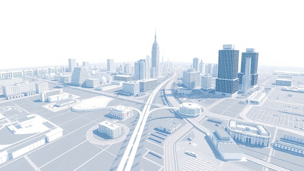
Geo² is a unified framework that combines Cross-View Geo-Localization (CVGL) and Cross-View Image Synthesis (CVIS) tasks using geometric priors from foundation models like VGGT
The framework introduces GeoMap, which embeds ground and aerial features into a shared 3D-aware latent space to reduce cross-view discrepancies
Leverages recent Geometric Foundation Models (GFMs) that extract generalizable 3D geometric features from images for improved cross-view geo-spatial learning
Addresses the challenge of large viewpoint gaps between ground-level and aerial imagery that previously made direct application of 3D reconstruction models difficult
Ask the AI about this article →
For example, today's edition would include:
AI-summarized, only the topics you pick — one digest a day via Email, Slack, or Discord.
Free · takes 30 seconds · unsubscribe anytimeWhat is AIToday? →
Ask AI anything about this article. Q&As are published on this page for other readers too.