What happened
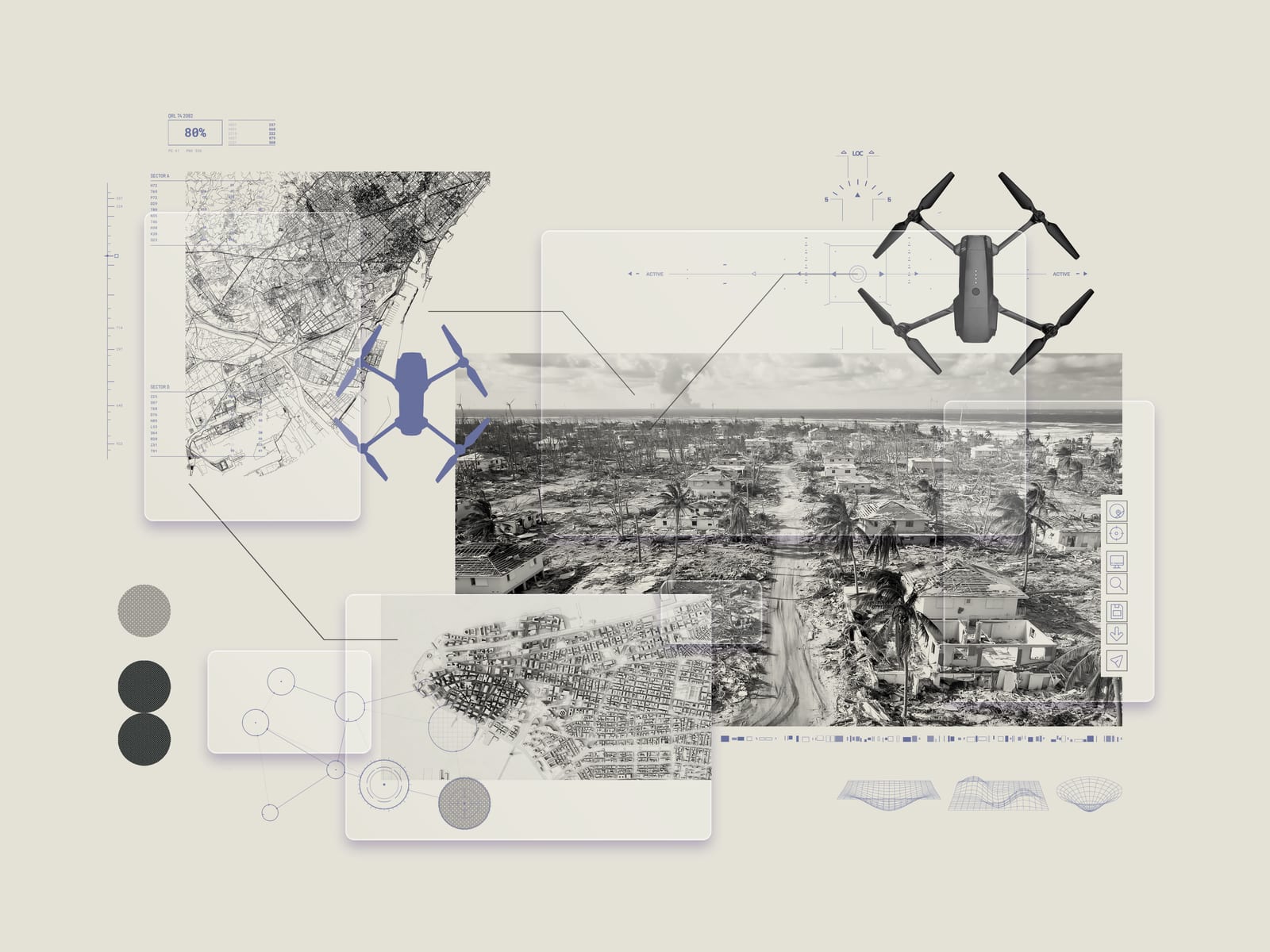
CLARKE, developed at Texas A&M University with National Science Foundation funding, analyzes drone images offline and sends compact damage reports. It is now standard procedure for Florida's disaster drone team, FL-UAS1, and has trained 125 emergency responders.
Why it matters
Researchers estimate CLARKE could let emergency managers make decisions roughly a day earlier, helping them focus on the hardest-hit areas first — a delay cut that could save lives in a serious crisis.
WHO IT HITSEmergency managers and disaster-response drone teams gain faster damage assessments without relying on spotty post-storm connectivity. Florida's FL-UAS1 team already uses CLARKE as standard procedure, and 125 responders have been trained on it.
Summaries like this, every morning.
CLARKE addresses a bottleneck that appears right after a storm: drones capture detailed images, but the files are huge and connectivity is often spotty. By analyzing images offline once a drone lands, the system turns raw imagery into compact reports on building damage and road conditions, so responders are not waiting on large transfers.
The project was developed at Texas A&M University with funding from the National Science Foundation's AI Institute for Societal Decision Making, placing it within a broader push to apply AI to emergency response. A separate example in the body is Microsoft's AI for Good Lab, which analyzed satellite imagery to help aid groups identify damaged buildings after Myanmar's major earthquake in March 2025.
Researchers estimate CLARKE could help emergency managers make decisions roughly a day earlier, allowing them to direct attention to the hardest-hit areas first. Tom Manzini of Texas A&M summed up the problem the tool targets: the information exists for emergency managers to make decisions, but it exists in a place where they can't get to it. Beyond the hurricanes Debby and Helene deployments in 2024 and its adoption by FL-UAS1, the team has trained 125 emergency responders on the system.
Pick your industry and the AI tools you use, and get news related to your work every day.
Free · 30 seconds with Google · unsubscribe anytimeWhat is AIToday? →
Ask AI anything about this article. The AI reads this article, earlier AIToday articles, and Wikipedia, and cites its sources. Q&As are published on this page for other readers too.
Fort Robotics announced approximately $20 million in new commitments from existing investors, with Tiger Globa…
Humanoid robots dancing and serving drinks appear more often in videos, but many demos depend on remote contro…

Videos of humanoid robots dancing and serving drinks are increasingly common, but many demos rely on remote co…

Google announced Genie 4, a world model that generates interactive experiences about two minutes long, up from…

Percepto launched Axion on October 27, 2026, a SaaS platform applying more than 160 AI models trained on over…
Crunchbase data shows global robotics venture funding reached $9.9 billion in Q3, more than double the $4.3 bi…