What happened
AIVE AI Systems demoed Atlas GEO Cloud and Atlas GEO QGIS at INTERGEO 2026 in Munich — tools that build georeferenced 2D maps from a few drone images.
Why it matters
This could make map-building accessible to smaller businesses, farmers and disaster response teams that lack advanced mapping equipment or trained geospatial staff.
What to watch
The proposition hinges on whether automating manual georeferencing truly removes the need for specialized setup; watch Atlas LOCATE, its GPS-independent positioning tool.
WHO IT HITSSmaller businesses, farmers and disaster response teams stand to gain first, since the software targets users who need geographic context without advanced mapping equipment or trained geospatial staff.
Ask the AI about this article →
Summaries like this, in your inbox every morning.
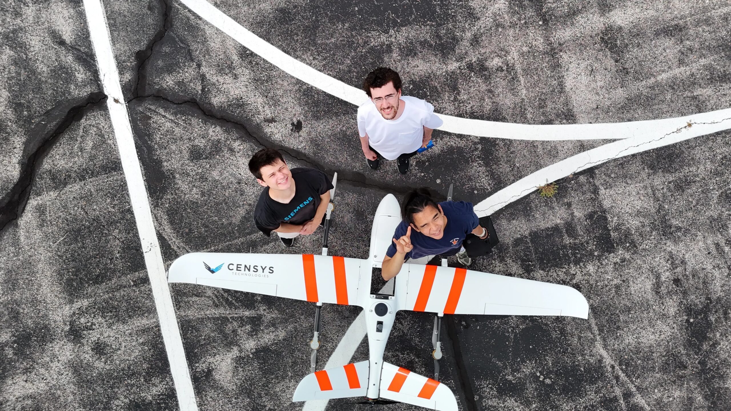
AIVE's presence at INTERGEO 2026 traces back to an unusual origin: a research effort on wildfire response. FLARE-X, led by The University of Texas at Austin, built an autonomous drone system combining drones, infrared sensors and software to locate emerging fires, and advanced to the finals of the XPRIZE Wildfire Autonomous Wildfire Response competition. As Product Lead Ryan Gupta put it, the team looked at what it had — intellectual property on drones, sensors and software — and decided software was where it could make the most impact.
That decision explains why the first products, Atlas GEO Cloud and Atlas GEO QGIS, are mapping tools rather than aircraft. Gupta described the software's reach as a wide horizontal of use cases, naming infrastructure inspection, public safety, agriculture and border patrol. The technical bet is that many users need a fast overhead view tied to real-world coordinates, not a detailed 3D model that demands precision equipment and expertise. AIVE's software searches broader reference areas to place imagery in geographic context — a different approach from relying on real-time kinematic positioning or ground control points, and one the company says automates work users might otherwise do manually.
The bet appears to be that accessibility, not precision, is the underserved need — hence the targeting of smaller businesses, farmers and disaster response teams lacking advanced equipment or trained staff. Whether that bet pays off is likely to hinge on how well the automation holds up outside controlled conditions, and on whether the planned Atlas LOCATE tool can give drones reliable positioning when GPS is jammed or spoofed. The FAA's proposed Part 108 rule, which would require drone manufacturers to protect aircraft from intentional electronic interference, suggests a regulatory tailwind for that capability.
For example, today's edition would include:
AI-summarized, only the topics you pick — one digest a day via Email, Slack, or Discord.
Free · 30 seconds with Google · unsubscribe anytimeWhat is AIToday? →
Ask AI anything about this article. Q&As are published on this page for other readers too.
Airwise Solutions and UAS Sentry formed a partnership integrating UAS Sentry Nexus Remote ID detection into th…
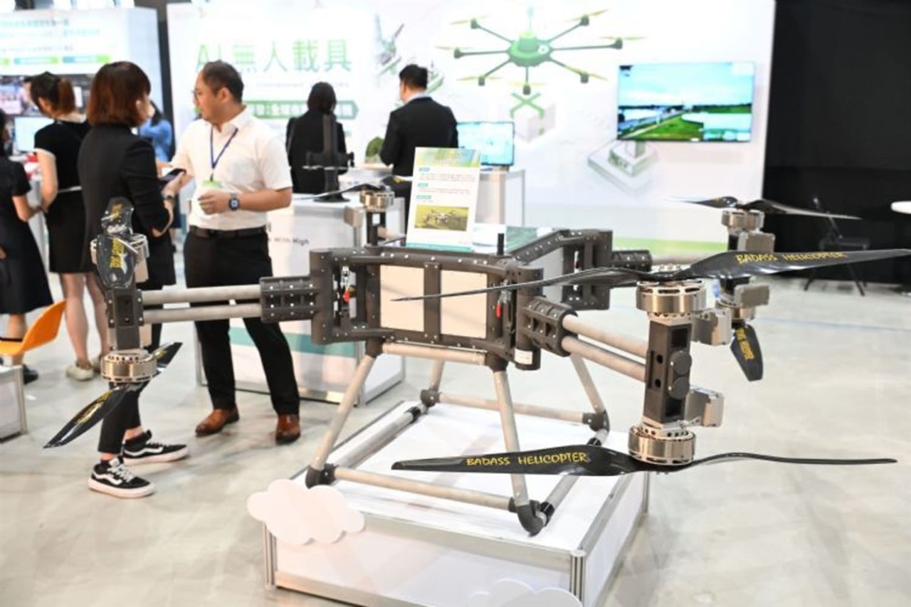
ITRI held its ITRI Innovation Day on September 15 in Tainan, Taiwan, bringing together research groups and sta…
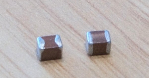
TDK said it has started mass production of multilayer ceramic capacitors rated at 100V and 10μF, targeting AI…

TDK has introduced a 10μF version of its MLCC that uses the company's own resin electrodes, with the design ai…
Two AI-equipped robots appeared for a limited time at "Caricoco" near Kariya Station's north exit

Harmoni raised $10 million in Series A funding on Sept