What happened
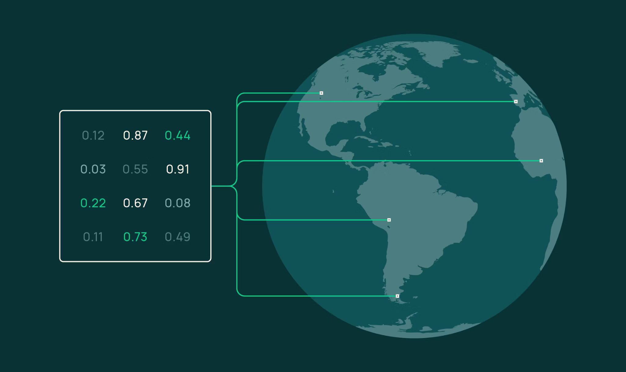
OlmoEarth Studio, a platform for Earth observation models, now allows users to compute and export embedding vectors—compact numerical representations of satellite data. Users can configure parameters including area of interest, time range (1–12 monthly periods), encoder variant (Nano, Tiny, or Base), spatial resolution (10, 20, 40, or 80 meter per pixel), and imagery sources (Sentinel-2 L2A, Sentinel-1 RTC, or both), then download results as Cloud-Optimized GeoTIFFs.
Why it matters
Embeddings provide a fast, cost-effective way to leverage Earth observation data for downstream tasks—similarity search, land-cover segmentation, change detection, and unsupervised exploration—without requiring labeled training data or specialized infrastructure. The body demonstrates that a simple logistic regression classifier trained on just 60 labeled pixels can produce coherent land-cover maps with weighted F1 = 0.84, showing the embeddings encode rich ecological distinctions learned during pretraining.
What to watch
The source code and model weights are publicly available, so the community can inspect how embeddings are generated. For applications requiring higher performance beyond frozen embeddings, OlmoEarth Studio also supports supervised fine-tuning. Custom-computed embeddings are available now; users should reach out to gain access.
Summaries like this, in your inbox every morning.
OlmoEarth Studio positions embeddings as a practical entry point for Earth observation analysis, bridging the gap between raw satellite data and actionable insights. The platform's strength lies in its flexibility: users can query specific spatial and temporal windows without relying on pre-computed global archives, enabling seasonal dynamics to be captured rather than just annual snapshots. The body demonstrates this flexibility through concrete examples—change detection across monthly Sentinel-2 composites revealed the Park Fire burn scar in Butte County by comparing September 2023 and September 2024 embeddings—and shows that the learned representations already encode landscape structure without explicit task-specific training.
The few-shot segmentation example (60 labeled pixels yielding weighted F1 = 0.84 for mangrove, water, and other classes) illustrates a core value proposition: embeddings compress Earth observation data into vectors rich enough that simple linear classifiers can recover ecological distinctions. The body notes that accuracy saturates quickly—increasing from 30 to 300 labels barely improves results—because the embeddings are "doing most of the heavy lifting." This design philosophy treats embeddings as a frozen foundation layer suitable for rapid prototyping and resource-constrained environments, while the platform also supports supervised fine-tuning for applications requiring higher performance.
Pick your industry and the AI tools you use, and get news related to your work every day.
Free · 30 seconds with Google · unsubscribe anytimeWhat is AIToday? →
Ask AI anything about this article. The AI reads this article, earlier AIToday articles, and Wikipedia, and cites its sources. Q&As are published on this page for other readers too.
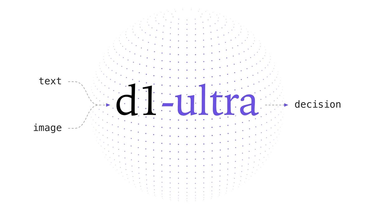
Liquid AI released d1-ultra on October 15, 2026, an upgraded open-weights decision model that averaged 76.7 ac…
NVIDIA released Nemotron 3.5 Super VL, an open-weight model with 120 billion parameters that handles text, ima…

NVIDIA released Nemotron 3.5 Bolt 74B-A9B 24GB, an AI model for local agents that hits over 80 tokens per seco…
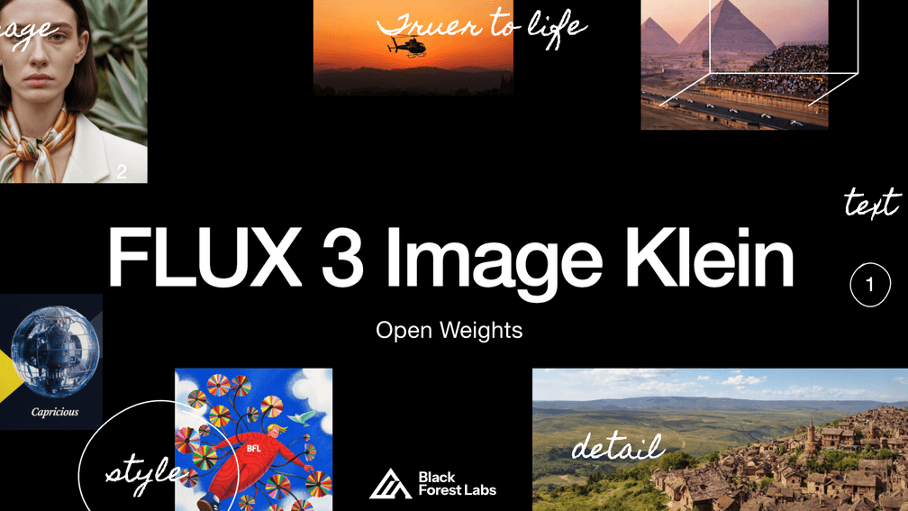
Black Forest Labs released FLUX 3 Image Klein as open weights on October 15, 2026 — a 5.6B-parameter model for…
PrismML released Ternary Bonsai 2 2B, 4B and 9B on October 15, 2026, remade from Qwen3.5 to process in three v…

HarnessRouter, an open-source server for UHP (Unified Harness Protocol), routes a task and harness_id from a p…