AIToday

Drone Network + AI Cut Disaster Damage Assessments to 10 Days

DRONELIFE3h agoSend on LINE
Drone Network + AI Cut Disaster Damage Assessments to 10 Days

Key takeaway

FlyGuys, a nationwide drone service network, and TerraFort, a disaster intelligence company, partnered to cut post-disaster damage assessments from one to two months down to 10 days following Super Typhoon Sinlaku in the Northern Mariana Islands. Using FlyGuys' more than 20,000 pilots and TerraFort's AI analysis of aerial imagery, the team assessed 4,135 residential structures and identified damage levels within days, enabling the Red Cross and local agencies to accelerate relief efforts.

Summaries like this, in your inbox every morning.

Sign up free →

3 Key Points

  • What happened

    FlyGuys and TerraFort completed a damage assessment in the Northern Mariana Islands just 10 days after Super Typhoon Sinlaku struck, covering 4,135 residential structures and identifying 991 destroyed homes, 2,267 with major damage, 739 with minor damage, and 138 affected homes. FlyGuys' network of more than 20,000 drone pilots collected approximately one terabyte of aerial imagery, which TerraFort's AI platform analyzed to create FEMA-ready assessments.

  • Why it matters

    Traditional damage assessments take one to two months—the partnership cut that to 10 days, allowing the American Red Cross and local government agencies to begin relief and recovery efforts far sooner. The Red Cross used the data to distribute supplemental assistance grants to homeowners, and local officials used it to support infrastructure planning and FEMA disaster declaration efforts.

  • What to watch

    The companies have integrated their workflow so that users can now select FlyGuys pilots directly through the TerraFort platform, and qualifying weather events can automatically trigger aerial image collection and AI-powered damage assessments. TerraFort currently works with county and state government agencies across the United States and is in discussions to expand into additional states.

In Depth

FlyGuys and TerraFort announced the results of a partnership that combines drone-based aerial data collection with AI-powered damage assessment technology. The collaboration pairs FlyGuys' nationwide network of more than 20,000 drone pilots with TerraFort's AI platform, which analyzes aerial imagery to create FEMA-ready damage assessments for emergency managers, insurers, and relief organizations.

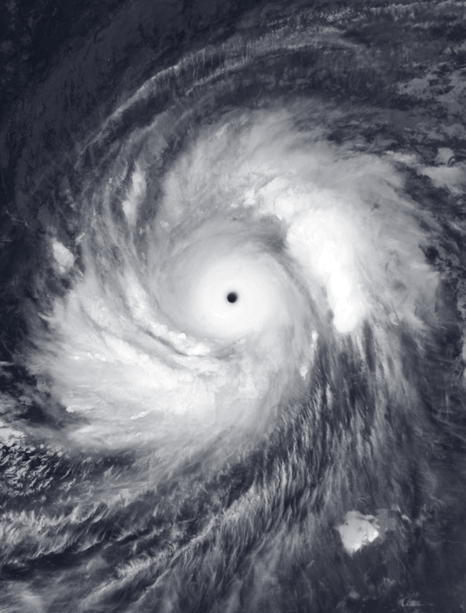
The partnership was tested after Super Typhoon Sinlaku struck Saipan and Tinian in the Northern Mariana Islands. The Category 5 storm brought sustained winds above 180 mph, damaged infrastructure, caused widespread power outages, destroyed up to 60% of livestock, and triggered severe flooding. Despite disrupted transportation and communications, FlyGuys deployed drone crews within days of the storm, collecting approximately one terabyte of aerial imagery. TerraFort's AI platform then analyzed the imagery to identify damaged structures. Within 10 days of landfall, the assessment covered 4,135 residential structures and identified 991 destroyed homes, 2,267 homes with major damage, 739 homes with minor damage, and 138 affected homes. The companies noted that the actual extent of damage was likely greater.

The assessment data was shared with the American Red Cross and local government agencies. According to the companies, the Red Cross used the information to provide supplemental assistance grants to homeowners whose homes were destroyed or suffered major damage. Local officials used the data to support infrastructure planning and FEMA disaster declaration efforts. The companies noted that completing a comparable assessment through traditional methods would typically require one to two months.

Following the deployment, FlyGuys and TerraFort developed a more integrated workflow. Users can now select FlyGuys pilots directly through the TerraFort platform. The companies say the system removes manual coordination and allows qualifying weather events to automatically trigger aerial image collection and AI-powered damage assessments. Grady Joseph, CEO of TerraFort, stated: "We know how difficult it can be to get humans on the ground in devastated areas where infrastructure is nonfunctional or physical barriers restrict access. But time is of the essence, especially where people have lost their homes or any semblance of safety." Joe Stough, CEO of FlyGuys, added: "FlyGuys' pilot network exists for moments like this, where getting eyes on the ground to capture critical data is the priority. This partnership is a successful example of what happens when physical infrastructure meets AI at scale." TerraFort currently works with county and state government agencies across the United States and is in discussions to expand into additional states.

Context & Analysis

The partnership between FlyGuys and TerraFort represents a significant operational advancement in post-disaster response. Traditionally, damage assessments have been bottlenecked by the time required to deploy personnel to devastated areas, collect and organize imagery, and manually analyze damage—a process that stretched across weeks or months. By automating the analysis pipeline and leveraging a pre-existing network of drone pilots, the companies compressed that timeline to 10 days in the Northern Mariana Islands following Super Typhoon Sinlaku, a Category 5 storm that brought sustained winds above 180 mph and destroyed up to 60% of livestock.

The concrete outcome of this speed is measurable: the American Red Cross used the damage data to distribute supplemental assistance grants to homeowners with destroyed or majorly damaged homes, and local government agencies used the assessments to support infrastructure planning and FEMA disaster declarations. In a disaster context, this acceleration of decision-making translates directly into faster resource allocation. The new integrated workflow—where users select pilots through TerraFort's platform and qualifying events automatically trigger data collection and analysis—removes manual coordination friction and positions the partnership to scale across additional states as TerraFort expands its footprint with county and state governments.

FAQ

How much faster is this approach compared to traditional damage assessments?
The partnership completes assessments in 10 days, whereas traditional methods typically require one to two months.
What does the assessment cover and how detailed is it?
The assessment covered 4,135 residential structures and categorized each as destroyed (991 homes), major damage (2,267 homes), minor damage (739 homes), or affected (138 homes). The data was used by the American Red Cross to distribute supplemental assistance grants and by local officials to support infrastructure planning and FEMA disaster declaration efforts.
How does the integrated workflow between FlyGuys and TerraFort now work?
Users can select FlyGuys pilots directly through the TerraFort platform, and qualifying weather events can automatically trigger aerial image collection and AI-powered damage assessments, removing manual coordination steps.

Get the latest Robotics news every morning

AI-summarized, only the topics you pick — one digest a day via Email, Slack, or Discord.

Free · takes 30 seconds · unsubscribe anytime

Discussion

No comments yet. Be the first to share your thoughts!

Log in to join the discussion

Related Articles

Stay ahead with AI news

Get curated AI news from 200+ sources delivered daily to your inbox. Free to use.

Get Started Free

Free · takes 30 seconds · unsubscribe anytime